
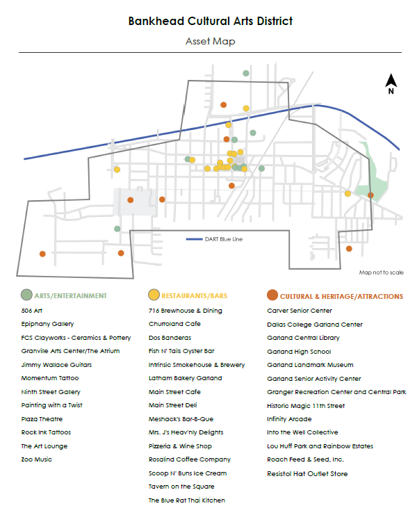
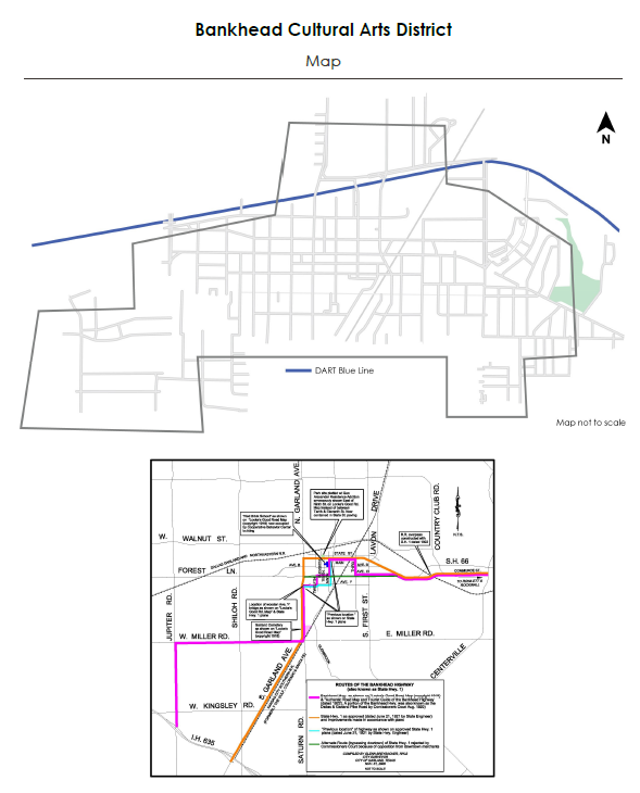
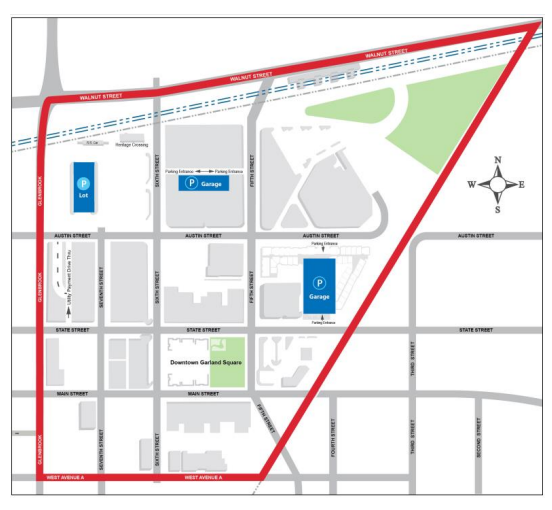
Visual Tools to Evaluate Sites, Districts, and Investment Areas
These development and district maps help developers and investors quickly understand where reinvestment is happening across Garland and how different areas of the city are evolving. The maps highlight catalyst sites, Downtown districts, historic areas, cultural corridors and historic neighborhoods – along with Tax Increment Financing (TIF) boundaries that support redevelopment, infrastructure investment and project feasibility.
What These Maps Highlight
These maps provide a clear sense for developers and business owners of where new opportunities are emerging, where infrastructure improvements are happening and the areas that will shape Garland’s future moving forward.